Gros Morne National Park
Alpine plateau, fjords, cliffs, waterfalls, lakes, and glacial valleys


Country: Canada | Type: Natural | Theme: Geology, Glacier
Introduction to Gros Morne National Park
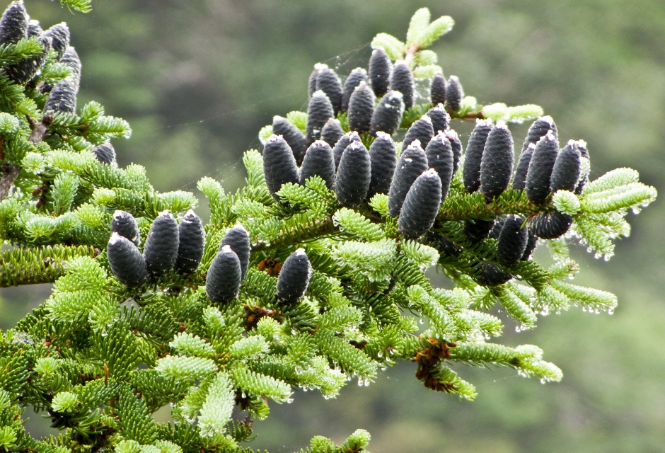
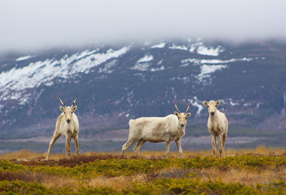
Gros Morne National Park is located on the west coast of Newfoundland, an island on the eastern coast of Canada. A variety of beautiful natural landforms can be found within the park, including an alpine plateau, fjords, cliffs, waterfalls, lakes, and glacial valleys. A large portion of these landforms were formed as a result of recent glacial action. In addition, the area is a rare example of continental drift; here, ocean crust and some rocks of the earths mantle are exposed. Studies of the area have created a great deal of knowledge about plate tectonics and the formation and evolution of ancient mountain belts.
Many of the park’s interpretive programs are a great way to get better acquainted with the area. Several programs offer information about the fascinating geology of the park. In addition, the Interpretive Center offers an informative look at plant and animal life in the region.
There are many ways to enjoy this unique and beautiful area, the simplest of which is to just go picnicking. Because this is a popular activity, there are many picnicking spots throughout the park, equipped with stoves, fire places, boat launches, and many even have playgrounds.
Hiking is a great way to enjoy the natural splendor. There are more than 100 kilometers of trails within the park. The trails range from easy to challenging, so there is literally something for everyone to enjoy. A variety of sights can be seen on these trails including volcanic rocks, sea caves, forests, canyons, hillsides, meadows, ponds, bogs, and limestone ridges to name a few. Wilderness hiking is also an option; these hikes require a map and compass and are generally much more challenging. They require a briefing at the Visitor Center by a warden before setting out.
A variety of water actives are available in Gros Morne National Park. This includes kayaking, boating, fishing, and swimming. Boat tours are available as well. These narrated cruises, in both English and French, last about 2.5 hours. Tours take visitors through two massive cliffs, offering views of some of the parks waterfalls. A 3 kilometer hike of moderate difficulty is required to reach the dock from the parking area.
The park’s name comes from the French word “Gros Morne,” which means “large mountain.” The area is known for its unique geology, which includes the remnants of an ancient mountain range and evidence of plate tectonics.
The indigenous Beothuk people lived in the area for thousands of years before European settlers arrived in the 16th century. The park was used primarily for fishing and lumbering until the late 19th century when geologists discovered the area’s unique geology.
In the mid-20th century, the government of Newfoundland and Labrador recognized the area’s scientific and cultural significance and began to take steps to preserve it. The park was officially established in 1973, and in 1987 it was designated a UNESCO World Heritage Site for its exceptional geological features and evidence of Earth’s plate tectonic history.
Gros Morne National Park is located on the west coast of Newfoundland, Canada, and covers an area of 1,805 square kilometers. The park is accessible by road and is approximately a 5-hour drive from St. John’s, the capital city of Newfoundland and Labrador. The closest major airport to the park is Deer Lake Regional Airport, which is approximately a 2-hour drive away.
Once in the park, visitors can explore the many trails and scenic areas by foot, or they can rent a kayak or boat to see the park from the water. There are also several campgrounds and hiking cabins within the park, providing opportunities for overnight stays.
The park is open year-round, although some roads and trails may be closed during the winter months due to snow and ice. Visitors should come prepared for the weather, with warm clothing and waterproof gear, as well as adequate food and water supplies.
Key Facts
Inscribed:1987
Nearest City:Deer Lake
Province:Newfoundland
Coordinates: Lat: 49.6125, Long: -57.5314
Accessibility:Moderate
Services:Basic
Highlights
- Rare example of continental drift
- Rich in geological history and unique landforms
- Interpretive programs describing the landscape
- A variety of outdoor activities are offered
- Guided boat tours are available
Find a Tour
Like to visit? Fill out this form and reliable local hospitality companies will contact you to discuss your ideas.